Lower Chickahominy
The Watershed
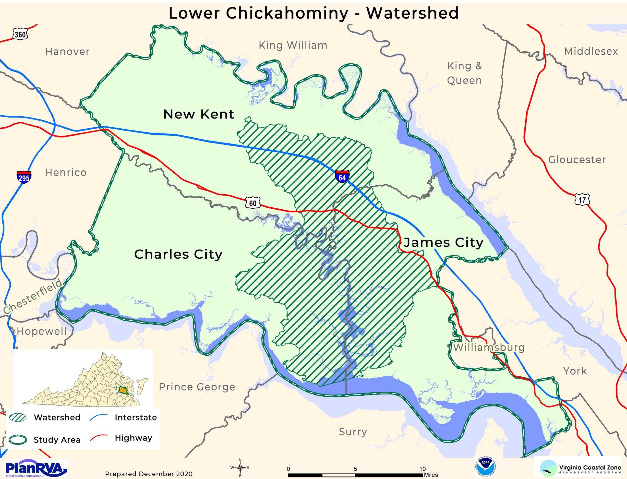
The 87-mile-long Chickahominy River is located in eastern central Virginia. The river was named after the Chickahominy Tribe, a Native American tribe that was settled along the river when the English colonists arrived in 1607. The Lower Chickahominy stretches from Walkers Dam at the eastern edge of Chickahominy Lake downstream to the confluence with the James River. The hatched area on the map below indicates the watershed area of the Lower Chickahominy River. A watershed is the land and area that drains to and impacts a waterbody.

The LCW consists of three localities: Charles City County, James City County, and New Kent County. Each county boasts some of the most unique and valuable natural resources in the state of Virginia. The watershed is said to contain “nearly pristine” marshes and swamp forests and is home to some of the most impressive fresh tidal vegetation in the Mid-Atlantic region.


