Transportation
RRTPO Snapshots
This section will be periodically updated to highlight particular work products of the RRTPO that may be useful for the public and help to provide more understanding of the work we do and its impacts to the residents of the Richmond Region.
Project Spotlight
Pathways to the Future Scenario Planning
Scenario planning is a practice through which communities plan for an uncertain future by exploring multiple possibilities of what might happen. Scenario planning helps to guide policy makers, planners, and community members through consideration of various future conditions and how to effectively respond to and plan for them.
The outcome of this scenario planning process will communicate the risk and opportunities of each scenario to different program areas of PlanRVA. In general, depending on the program area, the scenario planning process can result in three levels of applicability - education and awareness, strategic direction (vision setting or exploration), and action identification (in the form of policy recommendations and project identification & selection).
Regional Plans
ConnectRVA 2045
Richmond region’s Long-Range Transportation Plan, ConnectRVA 2045 was adopted by the RRTPO Policy Board in October 2021. The plan guides the Richmond region’s multi-modal transportation infrastructure investments over the next 23 years. The plan addresses major issues that needs to be addressed in the long-term for all modes of travel including transit, highways, bicycles, pedestrians, and freight.
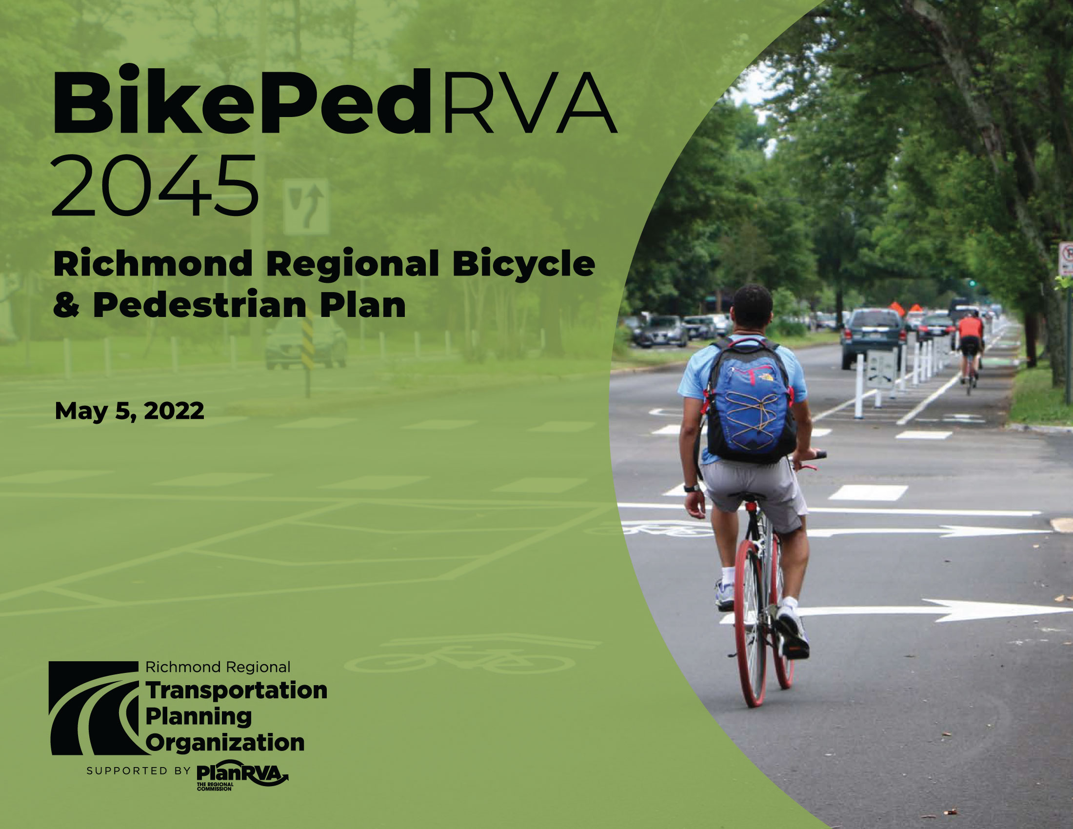
BikePedRVA 2045
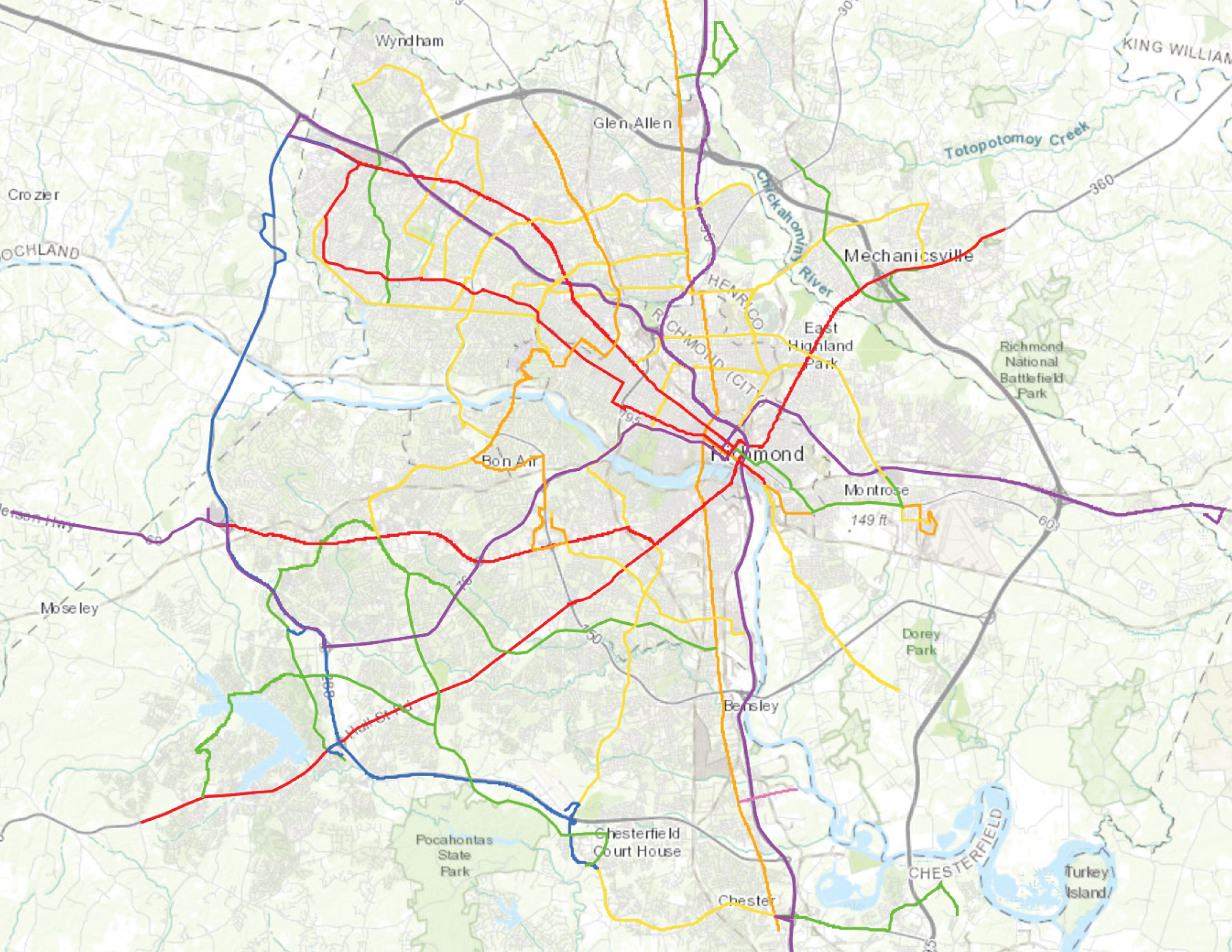
The purpose of BikePedRVA 2045 is to update the 2004 Richmond Regional Bicycle and Pedestrian Plan, document the progress that has been made in the past 16 years, and forecast a vision for the next 25 years. This plan has been prepared in coordination with the ConnectRVA 2045 long-range transportation plan, and was adopted by the Richmond Regional Transportation Planning Organization (RRTPO) Policy Board on May 5, 2022.
Supporting Projects and Plans
Greater RVA Transit Vision Plan
The Richmond Regional Transportation Planning Organization (RRTPO) in partnership with the Virginia Department of Rail and Public Transportation (DRPT) completed the Greater RVA Transit Vision Plan (transit2040) in February 2017.
View the Greater RVA Transit Vision Plan Phase II Executive Summary Story Map.
West Broad BRT Corridor Analysis
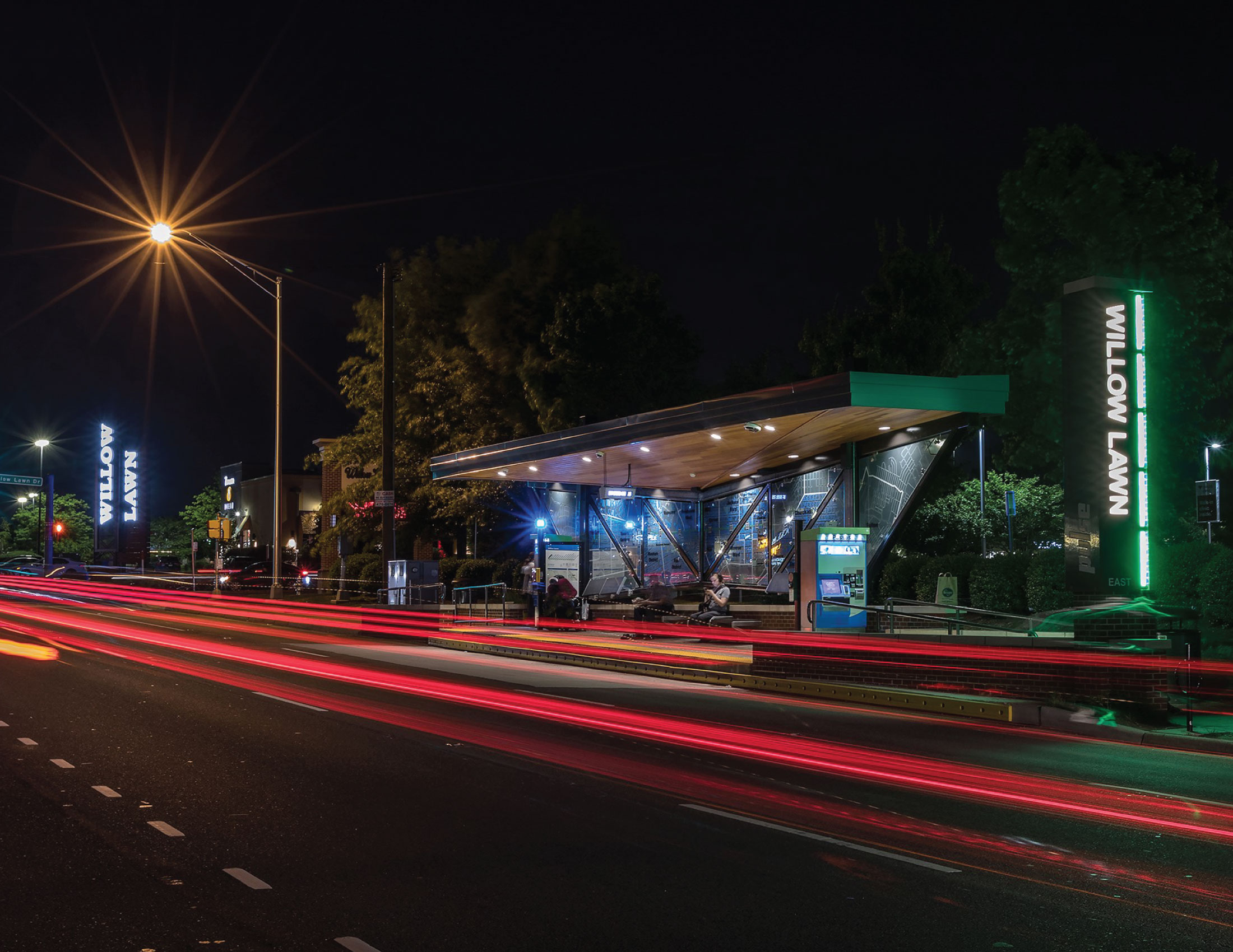
As Henrico County continues to experience growth and redevelopment along the Broad Street corridor, there is increasing interest in a Pulse BRT extension westward from its current western terminus at Willow Lawn.
GRTC and PlanRVA are developing a preliminary West BRT Corridor Analysis that would help inform more detailed studies to eventually expand this route and enhance this important transit corridor.
Trolley Line Trail
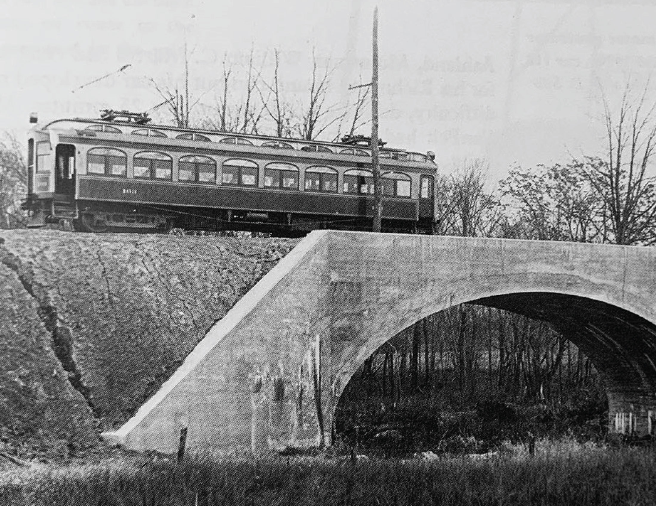
The Richmond Regional Transportation Planning Organization (RRTPO) in partnership with the National Park Service's Rivers Trails and Conservation Assistance program and Richmond area partner locations are working on a complimentary route to Fall Line to interpret the history of the Ashland Trolley Line. View the Trolley Line Trail History story map.
Richmond Regional Transportation Safety Plan
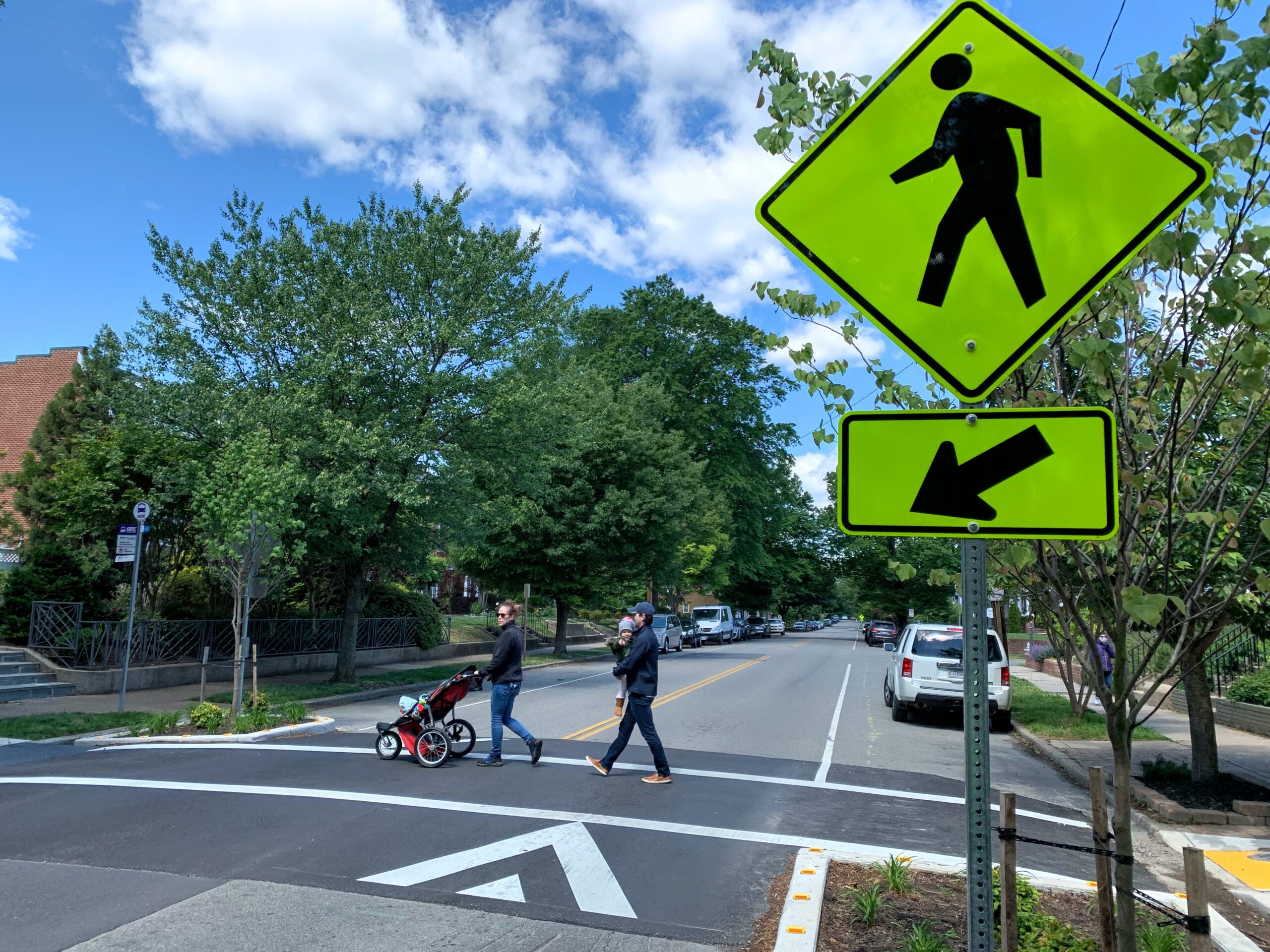
The Richmond Regional Transportation Safety Plan is based on the vision of Toward Zero Deaths which has been adopted by the Commonwealth of Virginia.
This plan addresses the issues specific to the region and local jurisdictions and outlines the primary factors preventing people from arriving safely at their destinations along with locations where safety improvements could make a difference.
I-95/Richmond Marine Terminal/Commerce Corridor Access Study
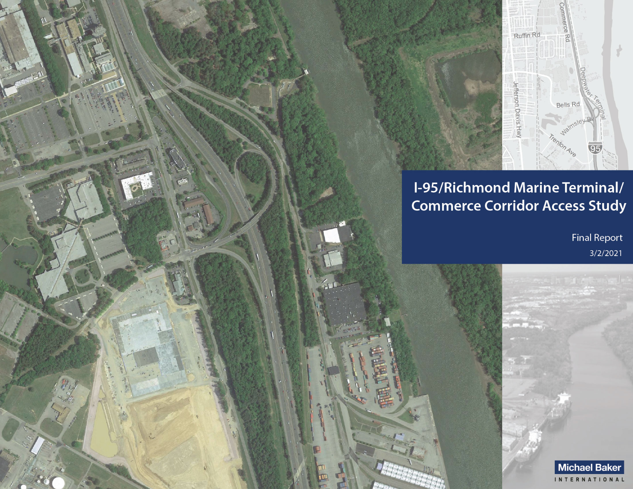
This purpose of the I-95/Richmond Marine Terminal/Commerce Corridor Access Study was to identify cost-effective short- and long-term improvements to enhance safety and improve access to industrial land uses. This study was led by Michael Baker International and commissioned by the Virginia Department of Transportation, in collaboration with PlanRVA and The Port of Virginia, to identify and develop transportation solutions to access and safety challenges in the area surrounding the I-95 Bells Road Interchange and Commerce Road.
RRTPO Certification Review
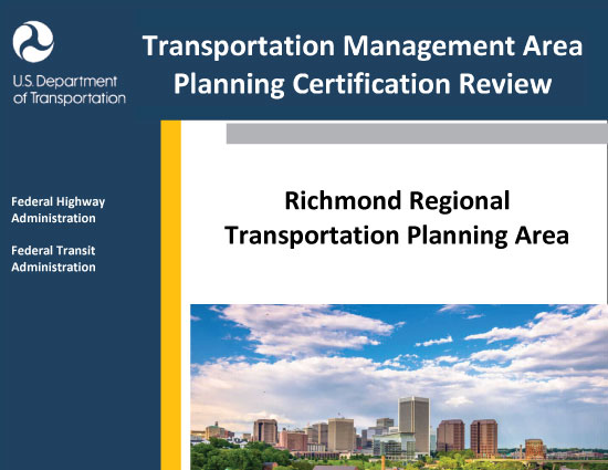
On August 24, 2021, the Federal Highway Administration (FHWA) and the Federal Transit Administration (FTA) conducted the certification review of the transportation planning process for the RRTPO urbanized area. FHWA and FTA are required to jointly review and evaluate the transportation planning process for each urbanized area over 200,000 in population at least every four years to determine if the process meets the Federal planning requirements.
The review found that the metropolitan transportation planning process conducted in the RRTPO area meets Federal planning requirements and received eight commendations on exemplary techniques and approaches to fulfilling federal transportation planning requirements.
Title VI Plan
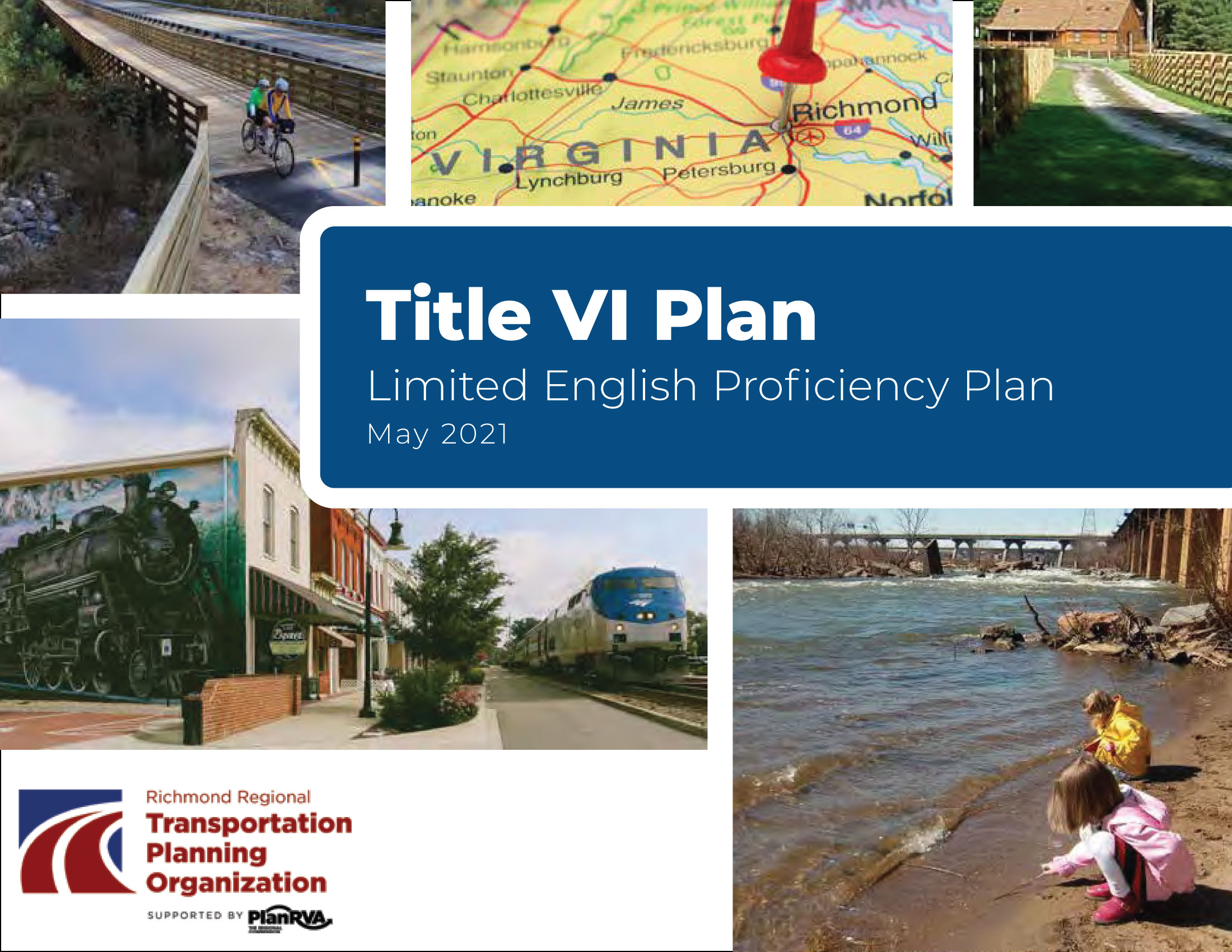
The RRTPO and PlanRVA fully comply with Title VI of the Civil Rights Act of 1964 and related statutes, executive orders, and regulations in all programs and activities. The RRTPO and PlanRVA are guided by federal Title VI and Environmental Justice (EJ) mandates and operate without regard to race, color, national origin, income, gender, age, and disability.
The purpose of this Title VI plan is to assure compliance in our federally funded urban transportation and other planning programs and to demonstrate RRTPO and PlanRVA’s commitment to nondiscrimination. In this plan, you’ll find a brief discussion of Title VI as well as the concepts of Environmental Justice (EJ) and Limited English Proficiency (LEP).
PlanRVA GeoHub
PlanRVA is the one (and only) organization where representatives from each of the Richmond Region's nine localities can come together to analyze, plan, consult and collaborate on issues and opportunities that impact every citizen and every community.
You can explore this platform for the GIS data, maps and applications pertaining to this mission.
Comprehensive Plans
Corridor Plans
- Trolley Line Trail (2023)
- West Broad Street BRT Corridor Analysis (2023)
- I-95, Richmond Marine Terminal, and Commerce Corridor Access Study (2021)
- Route 60 Corridor Study, Maidens Rd to Cumberland Line (2016)
- Eastern Midlothian Turnpike Re-Visioning Suburban Commercial (2015)
- Midlothian/Belt Boulevard Corridor Study (2014)
- Chesterfield County Jefferson Davis Highway Revitalization Study (2011)
- Jefferson Davis Highway Revitalization Study Appendix (2011)
Small Area Plans
- Charles City Courthouse Safety Analysis (2019)
- Powhatan Courthouse Village Safety Analysis (2019)
- Charles City County Courthouse Area Plan (2014)
- Enhancing Eltham, Rural TA (2014)
- Goochland County Rural Road Inventory, Rural TA (2013)
- Capitalizing on the Virginia Capital Trail (2013)
- Powhatan Courthouse Village Plan (2011)
Regional Plans
- Pathways to the Future Scenario Plan (2023)
- BikePedRVA 2045 Bicycle & Pedestrian Plan (2022)
- Richmond Regional Transportation Safety Plan (2022)
- ConnectRVA 2045 Long Range Transportation Plan (2021)
- Greater RVA Transit Vision Plan (2020)
- Complete Streets Policy and Practice Review of the Richmond Region (2020)
- Park and Ride: An Investment Strategy for the Richmond Region (2019)
Reports
- Richmond Area Complete Streets Recommendations for the Richmond Region and Ashland (2019)
- Goochland County Analysis of Zoning District Standards (2018)
- Henrico County Zoning Ordinance Review & Comparative Analysis (2017)
- Henrico Industrial Zoning Final Report (2012)
- City of Richmond Green Infrastructure Assessment Phase 1: Green Print Pilot Project (2010)
RRTPO Documents
Visit the Document Library to browse all public documents from the Richmond Regional Transportation Planning Organization, Central Virginia Transportation Authority, and PlanRVA.


