Lower Chickahominy
The Project
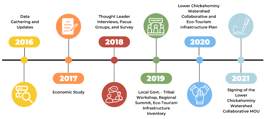
In October of 2016, PlanRVA embarked on a study of the natural resources present in the Lower Chickahominy Watershed (LCW). During this 5-year project, funded by the Virginia Coastal Zone Management Program, PlanRVA worked with stakeholders to develop policies and action steps to accomplish a dual goal: natural resource conservation and economic development. The project process included economic study to determine the impact and importance of conserved lands on the local economy, outreach to thought leaders, and relationship building among county and Tribal staff, and resulted in the development of the Lower Chickahominy Watershed Collaborative.
Project Timeline

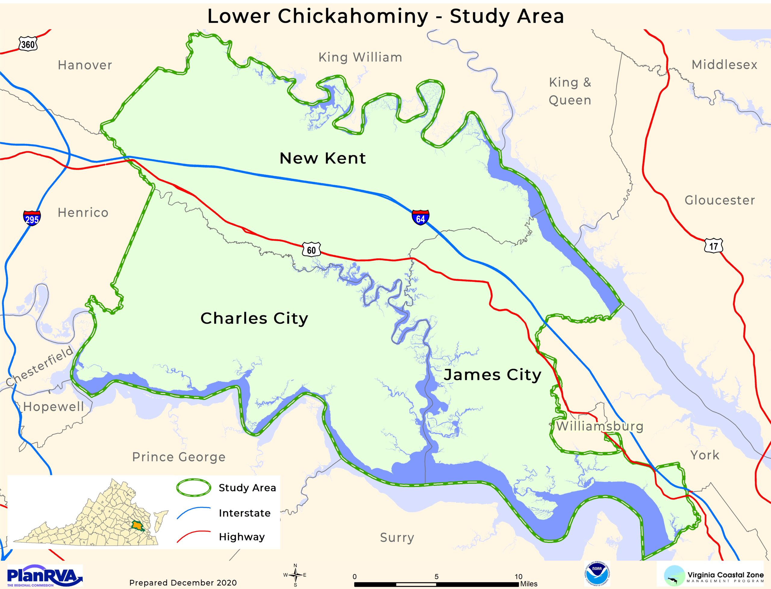
The LCW study area consists of three localities: Charles City County, James City County, and New Kent County. Each county boasts some of the most unique and valuable natural resources in the state of Virginia. Scientists performing fieldwork during the first year of this project noted that "the tidal freshwater wetland communities were among the highest quality remaining along Virginia’s tidal rivers."


