Flood Preparedness and Safety Tips

It’s important to know your risk and be prepared in the event of a flood emergency. In honor of Severe Weather Preparedness month in March, including Virginia Flood Awareness Week from March 12 – 18, we’re sharing a few tips and resources to help you plan ahead.
Understanding Flood Types
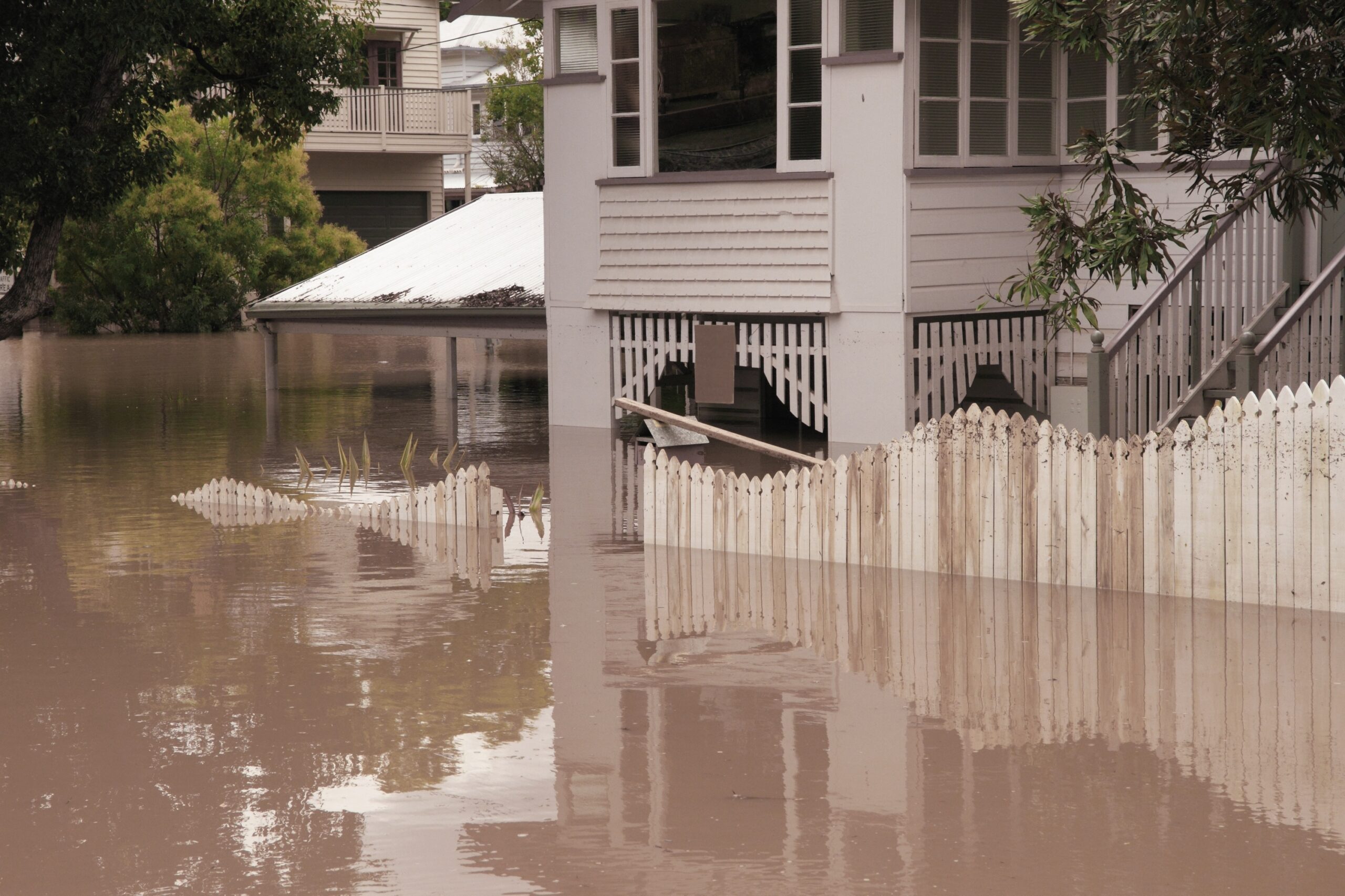
According to the Virginia Department of Conservation and Recreation (DCR), flooding is the most common and costly natural disaster. Floods can result from rain, snow, coastal storms, storm surges and overflows of dams or other water systems. They can happen at any time, anywhere and develop slowly over time or quickly and without warning. In the Richmond region, there are three main categories of flood types:
- Riverine flooding or “river flood” is when a river’s water level rises and overruns its banks.
- Tidal flooding can occur through winds, offshore storms and high-tide events during full and new moons.
- Dams or levee failures can occur quickly and without warning. There are 23 high-hazard dams classified in Virginia by DCR.
It takes only an inch of water to cause upwards of $25,000 in damage to a home. Having an emergency plan in place can help save costs from flood damage and keep you and your family safe and sound during a flood event.
Preparing for a Flood
Know Your Flood Risk
 Whether you’re a homeowner, homebuyer, tenant, insurance provider or floodplain manager, the first step in building an emergency preparedness plan is knowing your current and future flood risk status. The PlanRVA Flood Risk Mapper is a free tool available to the public that helps determine a property’s flood risk within the nine localities that make up the Greater Richmond Region. The mapping tool displays geographic data layers about flood risk and allows users to zoom in to exact address locations. The data layers include locality boundaries, FEMA Flood Hazard Zones, Dam Break Inundation Zones and Category 1 through 4 Hurricane Storm Surges. Users can turn off layers to better understand their flood risk.
Click here to use the free Flood Risk Mapper or download the complete guide for more information on how to use it.
Plan Ahead
Make a plan that works best for your household needs, including your pets. Pack a change of clothes, toiletries, non-perishable foods, water and other supplies that will last you several days in case you need to evacuate your home. Include batteries, flashlights and a first aid kit and keep important documents in a waterproof deposit box. For flash floods, learn and practice evacuation routes and shelter plans.
Homeowner’s insurance policies do not cover flooding. Be sure to purchase and maintain a flood insurance policy. When obtaining new coverage, there typically is a 30-day waiting period. To learn more about flood insurance, visit FEMA’s National Flood Insurance Program site.
How to Stay Safe During a Flood
Be sure to sign up for your community’s warning system and listen to alerts from the Emergency Alert System and National Oceanic and Atmospheric Administration. If an evacuation is announced, leave immediately. Do not drive around barricades or attempt to drive through flood waters. It only takes about 12 inches of water to sweep a vehicle away.
In extreme emergencies, get to the highest level if you’re trapped in a building and get onto the roof only if necessary to signal for help.
Staying Safe After a Flood Event
When a flood event ends, continue to listen to emergency alerts and local authorities. Wear protective clothing, including work gloves and boots, when cleaning up debris. Consider a mask or face covering if there is evidence of mold. Be aware of animals like snakes that may have taken shelter in your home and avoid electrical equipment if it is wet or you’re in standing water.
If water levels remain high, avoid wading through floodwater, which can be contaminated and contain dangerous debris.
For more safety tips and tools from PlanRVA and additional information about flood risk and preparedness, visit https://planrva.org/environment/flood-risk/.
Subscribe to The Better Together Connector
Sign up to receive The Better Together Connector, a quarterly e-newsletter designed to highlight the latest efforts, successes and a look ahead from PlanRVA, the Central Virginia Transportation Authority, the Richmond Transportation Planning Organization, and the Emergency Management Alliance of Central Virginia.

