OUR LOCALITIES
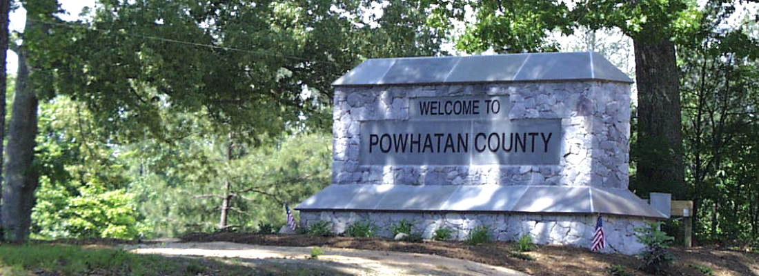
Powhatan County
Powhatan County is located in Virginia’s Central Piedmont province between the historic Appomattox and James rivers, to the west of Richmond.
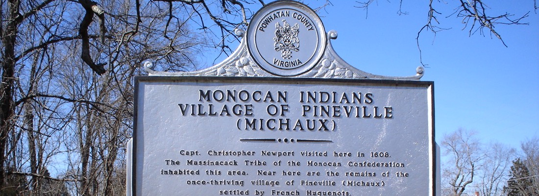
In 1700, French Huguenot refugees settled at a Monacan abandoned village, which they renamed as Manakin Town. It was located about 20 miles above the falls on the James River. French refugees also settled on the other side of the river in two villages now known collectively as Manakin-Sabot in nearby Goochland County to the north. In May 1777, the Virginia General Assembly created Powhatan County out of land from the eastern portion of Cumberland County between the Appomattox and James rivers. Residents named the county in honor of Chief Powhatan, paramount chief of the Powhatan Confederacy. He was the father of Pocahontas, whom colonists perceived as friendly. In 1850, a small portion of Chesterfield County was annexed, creating the current boundaries of Powhatan County.
Community
Profile
2010 Population
28,046
Land area in sq mi
260.22
Persons per sq mi
107.8

County Administrator
Board of Supervisors (Website)
Main Administration Building
3834 Old Buckingham Rd.
Powhatan, VA 23139
Google Maps link
Phone number: (804) 598-5612
Services
Featured Reports:
Local Pride
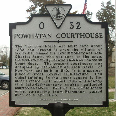
- Historic District of Powhatan Courthouse Village
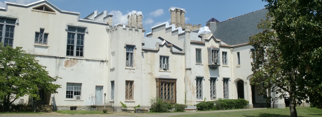
- Belmead Mansion
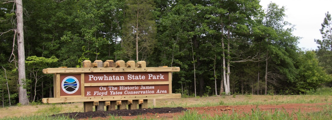
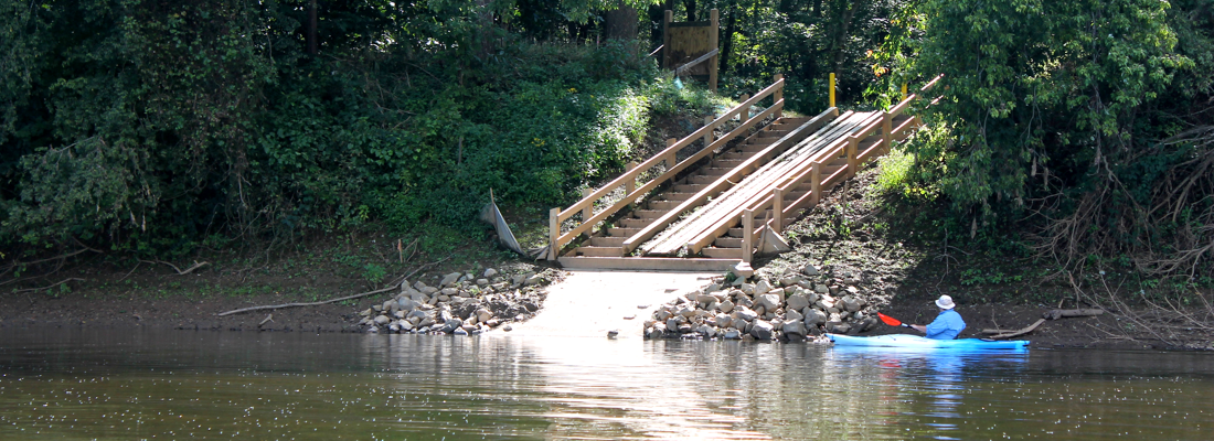
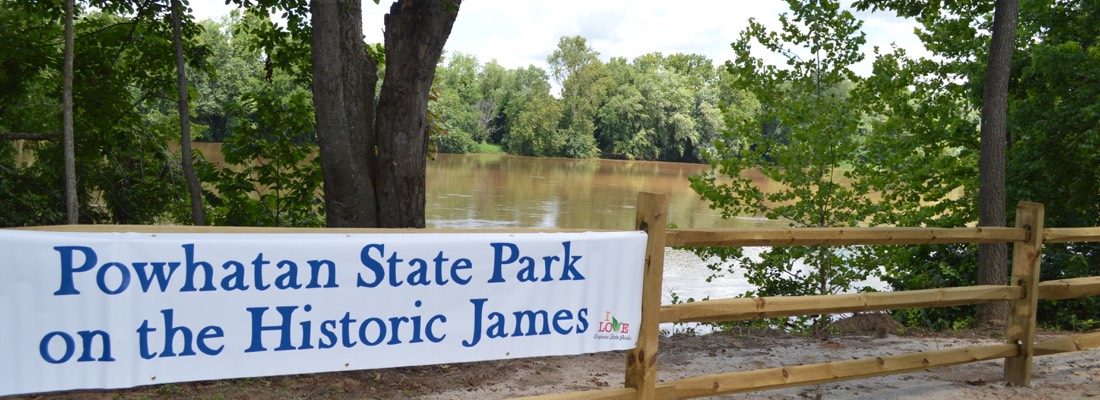
- Powhatan State Park on the Historic James
- Powhatan Historical Society
- Emmanuel Episcopal Church
- Huguenot Springs Confederate Cemetery
- St. Francis de Sales
- The Mill at Fine Creek
- Mosby Tavern
- Powhatan Driving Tour
Powhatan County Events
- Festival of the Grape
- Powhatan Music Festival
- Powhatan Christmas Parade
- Holly Days Bazaar
- James River Batteau Festival
- Powhatan County Fair
Sources:
U.S. Decennial Census 1990-2010, American Community Survey, 2014 5-Year Estimates.
U.S. Census, OnTheMap Application, Longitudinal-Employer Household Dynamics Program, 2014.


